Cuyahoga Valley National Park is not located along tall mountain ridges or in the middle of stunning valleys. Instead, the park presents you with forests lining rolling hills and picturesque waterfalls. It is much more accessible and easy to manage than many other National Parks.
In Cuyahoga Valley National Park, you will find a good variety of lengths and difficulties in the trails. Most of them tend towards the easy or moderate side, but there are some that present more of a challenge for hikers.
Blue Hen Falls along the Buckeye Trail
- Length : 8 miles
- Difficulty : Moderate to Hard
- Estimated Time : 3 to 5 hours
- Best Time : April
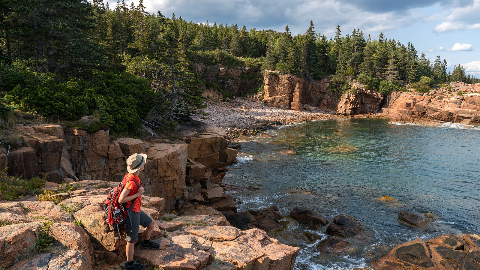
Blue Hen Falls is one of the picturesque waterfalls we alluded to above. It is a shorter waterfall, but it is interesting, especially in the spring. From February to May, the waterfall is larger and more of a spectacle since the melting snow adds to the river’s regular flow.
There are multiple ways to get up to Blue Hen Falls. One of the more challenging options is to take part in the Buckeye Trail, starting from the Jaite Trailhead. From this point, it is a four-mile hike to the falls and takes you up over 700 feet in elevation. This route is also much less renowned than some of the others. It means there will be fewer people at any time of the year.
If you want a more leisurely trip to Blue Hen Falls, head to the Trailhead located just off Boston Mills Road. It is only about a quarter to half-mile hike to get to the waterfall without much elevation change. Whichever trail you choose, bring along a rain jacket if you want to explore the falls upon arrival.
Ledges Trail
- Length : 2.2 miles
- Difficulty : Moderate
- Estimated Time : 1 to hours
- Best Time : May
The Ledges Trail inside Virginia Kendall Park is one of the most popular trails throughout the entire park. The ledges mark the trail for anyone interested in unique geological markers. The ledges are made from sandstone layered rock that has been steadily eroded to create the moss-covered ledges hanging over the trail.
You can hike in between narrow ledges along this trail, go on mini spelunking adventures, and take a wander off the path to explore the formations even closer. The end goal of the hike is the ledges overlook. Since there is not too much elevation change throughout the park, it can be challenging to find great views. This overlook presents you with the best one in the area. You only climb about 80 feet in elevation along this hike.
Many people enjoy doing this hike to watch the sunset over the rest of the park. Bring a camping chair along if you want to relax while taking in the views. During the autumn, the trees make the valley look like it is a sea of fire. However, this is one of the most popular times of the year, so don’t expect to be alone at this point.
Ohio & Erie Canal Towpath Trail
- Length : Varies
- Difficulty : Easy
- Estimated Time : Varies
- Best Time : August
The Towpath Trail runs along what is thought of as the spine of this National Park, the Cuyahoga River. The Ohio & Erie Canals are also a part of this trail. When you hike this path, you are actually walking along the same route traveled by the mules that would customarily pull the towboats along the river.
Now, this trail has become the most well-known in the park. Over 2.5 million visitors move along this trail each year. However, this doesn’t mean that you will feel overwhelmed by the number of people. It is a very wide path that runs for over 80 miles through the county, meaning there are plenty of sections you can explore, and you can go as far as you want.
The Towpath Trail takes you by many of the main points of interest throughout the park. You can hike along or bike it.
Brandywine Gorge Trail
- Length : 1.4 miles
- Difficulty : Easy to moderate
- Estimated Time : <1 hour
- Best Time : March to May
Brandywine is the most iconic point in the park, and the trail leading to it is also extremely popular. It is best to get started on this hike early in the day to avoid crowds, especially if you visit the park during the most popular times of the year.
The best time to hike the Brandywine Gorge trail is in the spring since the water flows stronger than during any other time of the year. There is also a chance that you will miss the summer-time tourists.
The loop trail itself is less popular since there is a parking lot with stairs that lead straight down to the falls. However, the loop trail is more rewarding and gives you a great view of the Falls. Along the trail, you experience a gain in elevation of about 190 feet.
Boston Run Trail
- Length : 3.4 miles
- Difficulty : Easy to moderate
- Estimated Time : 1 to 3 hours
- Best Time : August to October
The Boston Run Trail is slightly longer and winds you through much of the beautiful forested land that makes up Cuyahoga Valley National Park. It gives you many chances to use your binoculars and watch some wildlife. There are plenty of smaller animals that populate the trail, including squirrels, chipmunks, and many bird species.
The elevation along the trail is barely noticeable, with a gain of only 80 feet. You can start from the Happy Days Lodge in the park and follow the loop all the way around to end up back at the parking lot. Bring a picnic in your hiking backpack and stop in one of the meadows or clearings for a break partway.
Pine Grove Trail
- Length : 2 miles
- Difficulty : Easy
- Estimated Time : 1 to 2 hours
- Best Time : August to October
Pine Grove Trail is located nearby the Ledges trailhead and is an easy addition if you have already stopped off to hike that popular trail. This trail isn’t as well-known either, so it might give you a chance at some peace in the forest before heading to the next popular site.
This entire trail is a little less than 2 miles long and only has an elevation gain of about 90 feet, keeping it easy for most people to tackle.
To hike along this trail, park near the Pine Grove Trailhead. Start on the trail and take the connector trail to land on the Pine Grove Trail loop. The loop takes you through beautiful wildland and then back out to the trailhead and parking lot. Keep an eye out for wild turkeys along your way!
Plateau Trail
- Length : 4.5 miles
- Difficulty : Moderate to hard
- Estimated Time : 2 to 3 hours
- Best Time : June to August
The Plateau Trail might sound like it should be one of the flatter paths in the park. However, it is a bit more challenging since the elevation gain is more than 200 feet. It is also one of the longer trails featured on the list and takes around three hours to work your way through.
This trail is moderately popular but will not be anything close to the trails leading to Brandywine Falls or the path along the canals. Most of the elevation gain takes place going up one larger hill, and then you get to enjoy the sights around you.
The easiest way to start this trail is by beginning at Oak Hill Trailhead. Take the path towards the Plateau Trail and keep following it as it loops around. Eventually, it will merge with Oak Hill Trail and take you back west to where you parked.
Tree Farm Trail
- Length : 2.8 miles
- Difficulty : Easy
- Estimated Time : 1 to 2 hours
- Best Time : August to October
Tree Farm Trail is literally a path that winds through an old tree farm in the region. It offers stunning views of the trees left and planted with the abandonment of the tree farm. These trees are what make the trail so engaging during the fall since the colors are truly something to behold.
This trail is easy to complete and only takes you up about 80 feet of elevation gain. It gets a moderate amount of foot traffic throughout the summer but is overall a relaxing hike. You also take a bit of a trek around Horseshoe Pond, which is also where the parking lot is located for this hike.
Salt Run Trail + Lake Trail
- Length : 4.3 miles
- Difficulty : Moderate
- Estimated Time : 2 to 3 hours
- Best Time : May to July
These two trails are separate loops, but they are located so close to each other that visitors often take them both out in one go. Additionally, if you are looking for a longer hike, it helps combine them and get more time outside. Bring a fan along if you decide to take it on in the heat of the summer.
These are both loop trails. Most people make their way around by starting in the Kendall Lake parking lot and starting around its loop. Soon after, you will run into the Salt Run trailhead. Make this loop before meeting back up with the Kendall Lake loop and finishing the route.
They are not very popular trails since the crowds gravitate more towards the trails with popular sites and overlooks. The Kendall Lake Loop encircles Kendall lake and is the shorter of the two and a very flat trail. The Salt Run Trail takes a bit longer and brings you back into the woods.

Amanda Williams
Amanda Williams is a writer, plant-nerd, and outdoor enthusiast. She has traveled extensively, around the U.S., throughout Asia, Europe, and Latin America. Everywhere she treks, she takes time to enjoy the outdoors. John Muir is her hero. She aspires to inspire people to live better as he did.