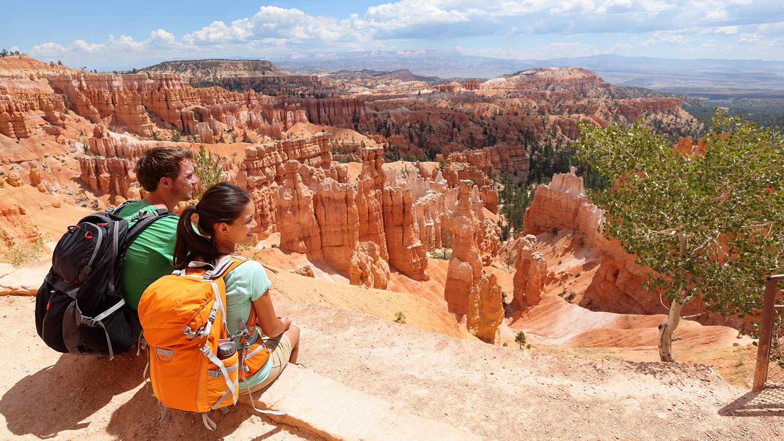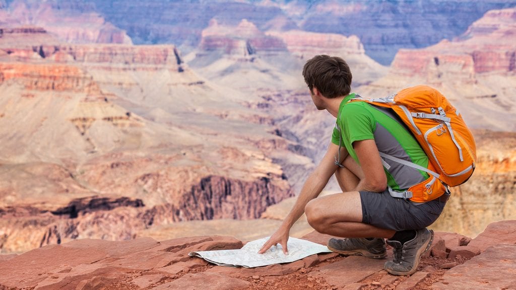
Hiking in any of the country’s national parks has its hazards, but they’re of particular note in Grand Canyon National Park. Temperatures on many of the Grand Canyon’s trails during the summertime can be intense.
Couple that with a lack of tree cover, few (if any) water sources on the trail, and out and back trails that are many miles long and involve very steep terrain on the return trip, and you have a recipe for disaster.
It’s absolutely essential that you prepare with proper hiking shoes, water bottles, salty snacks, and an honest assessment of your physical abilities when determining how far you want to trek on these trails, especially when visiting the park in the summer.
Here are 10 of the best hiking trails in Grand Canyon National Park.
Bright Angel Trail
- Length : 7.8 miles
- Difficulty : Hard
- Estimated Time : 5 to 6 hours
- Best Time : May
Bright Angel trail is one of the most popular trails in Grand Canyon National park. It also happens to be one of the safest. It features portable water pumps periodically alongside the trail, and a ranger station that is situated at the trail’s halfway point.
That said, this trail is no cakewalk. The top four miles are a series of switchbacks descending into the canyon that are strenuous when making the return trip.
The trail levels out upon reaching Indian Garden and follows a creek through stone walls and cottonwood trees, before becoming steep again at the Devil’s Corkscrew. This section of the trail can become very hot in the summertime and features no water, so come prepared with full water bottles.
The trail continues on through a series of sand dunes, another hot section, before reaching the silver bridge that crosses the Colorado River and takes you to the campground.
North Kaibab Trail
- Length : 13 miles
- Difficulty : Hard
- Estimated Time : Multi-day
- Best Time : May
Of the three trails maintained by the Grand Canyon’s park service, the North Kaibab Trail is the least popular; this is largely because it also happens to start at the less developed North Rim of the park. It measures some 13 miles and nearly 6,000 feet of elevation change. This change in elevation means you’ll experience a wide variety of ecosystems that range from Mexico to Canada.
The trail descends through Redwall Limestone with fauna changing from mountain Aspen and wildflowers at high elevations to desert vegetation miles down the trail. While this trail can be completed in small sections for shorter day trips, hiking the entire trail is a multi-day trip requiring backwoods camping with backpacking backpacks and backpacking tents at one of two campgrounds.
Cottonwood Campground is available at the halfway point at 7 miles while Bright Angel Campground is at the bottom of the trail next to the Colorado River trail.
South Kaibab Trail
- Length : 12 miles
- Difficulty : Hard
- Estimated Time : 2 hours to multi-day, depending on the distance
- Best Time : April
The park’s second most popular trail after Bright Angel Falls also happens to be one of the three maintained by the National Park Service. This trail is more rugged with fewer amenities than its Bright Angel neighbor. There is no potable water on this trail, so bring plenty of water bottles.
You also must contend with mules, which you will encounter on this trail. However, it does offer several excellent overlooks, including the aptly-named Ooh-Aah Point, which offers spectacular views, and Cedar Ridge, which makes a great turnaround point for late-starting day hikers or summer hikes.
The remainder of the trail is blistering hot and, therefore, dangerous during summer. Skeleton point at mile 3 offers the final option for turning around for early bird day hikers. Backpackers can continue on the remainder of the trail to reach Bright Angel Campground at 6.3 miles.
Cape Royal Trail
- Length : 1 mile
- Difficulty : Easy
- Estimated Time : 1 to 2 hours
- Best Time : June
Many of the most popular trails in Grand Canyon National Park are known for their steep, difficult terrain, extreme temperatures, and exposed drop-offs. That’s not exactly a recipe for a family hike, especially if young children are involved. Luckily, there are more than a few easy hikes with major payoffs that the entire family can enjoy. Cape Royal Trail is one of them.
It features a peaceful and easy stroll on a paved trail with virtually no elevation change. That’s not to say it’s boring. This trail leads to some of the most amazing views from the North Rim of the Grand Canyon.
You and your kiddies will be treated to panoramic vistas of the Canyon that seem to go on forever. It includes views of the natural arch Angels Window, the Colorado River, and Desert View Watchtower.
Hermit Trail
- Length : 18 miles
- Difficulty : Hard
- Estimated Time : 5 to 7 hours
- Best Time : May
When taking this trail, you’ll also be traversing on a bit of history. The Hermit Trail was established more than 100 years ago as a link to a luxury campsite that once existed on the shores of Hermit Creek. While the campsite is no more, the trail endures.
This is one of the more rugged and difficult trails as it is steep and unrelenting, dropping some 2,000 feet in the first 2.5 miles. As the trail continues its steep descent to Hermit Creek, you’ll notice fossilized animal tracks, and what remains of a historic rest house.
Although there is some respite from the sun on sections of this trail that hug the walls of the South Rim, this trail can be scorchingly hot in the summertime, so bring plenty of water. The trail eventually reaches its terminus at Hermit Creek campsite.
South Rim Trail
- Length : 13 miles with plenty of bailout options
- Difficulty : Easy
- Estimated Time : 6 to 7 hours
- Best Time : June
This is perhaps the most popular trail at Grand Canyon National Park. Due to its trailhead location at Grand Canyon Visitor Center, this is where most visitors are introduced to this natural wonder of the world.
This paved trail stretches some 13 miles, but unlike other popular trails at the park, it lacks the elevation change. Instead, it skirts the rim, going from scenic outlook to scenic outlook. Highlights on this trail include Mather Point, Powell Point, and Yavapai Point.
South Rim Trail, sometimes known simply as the Rim Trail, also serves as a central artery in the South Rim, connecting to every South Rim trailhead that heads down into the canyon. It’s a great foot option for those who aren’t interested in taking the shuttle.
That said, since it parallels Hermit Road, it also features many shuttle stops along the trail, making it easy to bail out when you‘ve had your fill of hiking.
Grandview Trail
- Length : 9 miles
- Difficulty : Hard
- Estimated Time : 6 to 7 hours
- Best Time : April
This trail is not for the faint of heart, nor is it for children. This extremely difficult non-maintained trail built in the late 19th century as a mining route to connect the rim with copper mines located at Horseshoe Mesa, features rocky terrain, steep inclines, and exposed drop-offs.
Top sections of the trail are held into place by logs and steel rods. As you descend, you’ll be confronted with exposed drop-offs. Day hikes on Grandview Trail go to Coconino Saddle, a narrow gap between two cliffs in the South Rim., or Horseshoe Mesa, which is further on.
This trail is best hiked in the fall or spring with treks beyond Coconino Saddle not recommended in the summer due to the exposed terrain beyond this location.
Havasu Falls
- Length : 20 miles
- Difficulty : Easy
- Estimated Time : 4 to 7 hours each way; mandatory overnight
- Best Time : May
Of all the waterfall hikes throughout the country, none may be more famous than The hike to Havasu Falls. That’s saying something, given that this is not an easy jaunt to a waterfall. This is a 10-mile trek each way that can’t be completed in a day. In fact, day hiking isn’t allowed to reach Havasu. You need to backpack overnight or take a mule ride.
Camping tents and backpacks are required gear for this trek. That so many people are willing to make this long journey is a testament to how beautiful these falls are.
The hike itself is easy to navigate with a relatively flat trail that wanders through a canyon to the town of Supai at mile 8 before continuing on for another 2 miles to the campground and falls. Calcium carbonate and magnesium deposits in the 100-foot falls make them an almost unnatural looking bright blue-green.
Cape Final Trail
- Length : 4 miles
- Difficulty : Moderate
- Estimated Time : 3 to 4 hours
- Best Time : June
It seems most trails in the Grand Canyon are either incredibly hard or so easy that they’re mobbed with tourists. It’s hard to find that trail that you can hike in its entirety without having to strap on a backpack or bump elbows with a bunch of other hikers.
Cape Final Trail is one of those trails. With its location on a less popular North Rim, moderate terrain, and 4-mile distance, this is a trail that you can manage in a few hours without the crowds.
And, it doesn’t disappoint, with a route that leads through a forest before skirting the canyon’s edge to a payoff at the breathtaking Cape Final, where you can take in views of the eastern edge of the canyon and Vishnu Temple.
Rim-to-Rim Trail
- Length : 24 miles
- Difficulty : Hard
- Estimated Time : All day or multi-day
- Best Time : May
If you truly want to say, I hiked the Grand Canyon, then you need to do the Rim-to-Rim Trail, which takes you on the 24-mile trek between the North and South Rim. This is a trail for only experienced hikers as it features significant distance and more than 4,500 feet of elevation gain.
The trail begins at the South Kaibab Trailhead before descending to the river past the Phantom Ranch, where it meets up with the North Kaibab Trail that ascends to the North Rim.
From there, you can take a long shuttle ride to return to your starting point. While this route is, in fact, doable in a day for athletic hikers who start out early, it can also be completed as a backpacking hike with a stop at Bright Angel campground or Phantom Ranch in the middle.

Gaby Pilson
Gaby is a professional mountain guide with a master’s degree in outdoor education. She works primarily in the polar regions as an expedition guide, though she can be found hiking, climbing, skiing, sailing, or paddling in some of the world’s most amazing places when not at work.