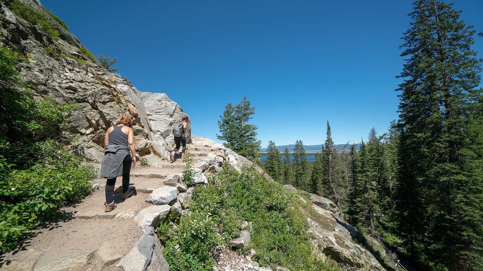
Olympic National Park is one of the most geographically inspiring National Parks in America. There you get exposure to the rainforests and beaches, watch whales, and the next hour be overlooking stunning valley views. The park spans over almost a million acres of land rich with diversity, both in terms of terrain and wildlife.
Some of the trails within the Olympic National Park are internationally renowned. They fill up people’s bucket lists across the globe. If you get the chance to visit the park, it will be obvious why any of these should define your visit to the park.
Hoh Rain Forest Trail (Hall of Moss)
- Length : 1.1 mile
- Difficulty : Easy
- Estimated Time : 1 to 2 hours
- Best Time : July
The Hoh River Trail takes you along a lush trail throughout one of the best of Washington’s temperate rainforests. This hike is one that you can confidently take the whole family on, no matter their hiking capacity. It is short at only just over one mile and stays on an even path for the majority of the way.
This trail is enchanting, taking you in a loop throughout primeval trees of enormous size, coated with lichens and mosses. Ferns carpet the floor of the forest in thick masses. There are signs posted along the trail to give you a better idea about the park’s history and this forest.
The trail is partially paved, and this section is wheelchair and stroller accessible, a good place to break out those hiking sandals. There are no dogs allowed along this trail, but there is camping closeby.
Ozette Loop
- Length : 10 miles
- Difficulty : Hard
- Estimated Time : 6 to 8 hours
- Best Time : July
The Ozette Loop takes you along a piece of the northern Wildnerness Coast. It is a relatively heavily trafficked loop even though it is long since it is one of the more popular coastal routes.
This trail gives you a good glimpse of the diversity in the terrain in this area. It begins in one of the many lush forest environments within the Natural Park close to the Ozette Campground. Use the Cape Alava Trailhead to trek into the forest and follow the hike’s signs.
Before the crashing waves become visible, you will be able to hear them. That will be about three miles of hiking throughout the forest. The opening onto the ocean scene is breathtaking. You then begin to hike along the south of the beach to Sand Point and follow the Sant Point Trail back to your trailhead.
Hurricane Hill Trail
- Length : 3 miles
- Difficulty : Moderate
- Estimated Time : 2 to 3 hours
- Best Time : July to August
Hiking to Hurricane Hill is one of those trails known around the world for its incredible beauty. It means that this is one of the more popular trails in the park and can be heavily trafficked. It is an alternative to the even more popular Hurricane Ridge Trail.
It is difficult to go at a time of the year when you might avoid the crowds since the winters are so long and make the trail less maneuverable outside of the summer.
The hike can easily be done within a couple of hours and give you stunning views of Hurricane Ridge. It is an excellent option to do with a family that has younger hikers. During the summer, wildflowers add to the view from the top of the mountain, and you should be ready with binoculars to spot some wildlife.
Mount Storm King
- Length : 5.3 miles
- Difficulty : Hard
- Estimated Time : 5 to 7 hours
- Best Time : June to August
Mount Storm King is a heavily trafficked trail that is located near Port Angeles on the Washington Peninsula. This trail’s primary feature is a glacial lake that you hike over and see stunning panoramic views.
The first portion of this hike is made up of switchbacks. It extends for the first 2.7 miles of the trek and is most of what makes this hike so challenging. It creates a lot of leg burn and requires a certain health standard. However, once you reach the top of this part, you see the magnificent views over the lake bordered by mountains. It is worth bringing your hiking camera bag to remember it forever.
From this trail, you can also take a short side trip to reach Marymere Falls, a popular destination on many hikes. It does extend your trip, though. There is a section of the main hike for those that are afraid of heights that you have to walk close to a cliff edge to make it to the end.
Quinault Rain Forest Nature Trail
- Length : 1 mile
- Difficulty : Easy
- Estimated Time : <1 hour
- Best Time : March to October
The Quinault Rain Forest Nature Trail takes you through another natural rain forest environment in this National Park. It gives you a magical way to go through a unique setting. The moss-strewn landscape makes you feel like you have thoroughly gone away from society, even if you share the trail with other families. It is a rain forest, so bring rain jackets to be prepared for changes in the weather.
This trail is near Lake Quinault’s shore and has a bathroom located nearby with a parking area. It is also close to the Quinault Ranger Station, where rangers can help give interpretive information about the site and the wild flora and fauna.
The trail is relatively flat and follows a packed-gravel path. It takes you by Wallaby Creek with small cascades through the forest. You can take extended adventures by connecting this shorter Nature Trail to other nearby trail systems in the area.
Seven Lakes Basin Loop
- Length : 19 miles
- Difficulty : Hard
- Estimated Time : 10 to 12 hours
- Best Time : June to August
The High Divide to Seven Lakes Basin Loop is a trail that promises stunning sights no matter what time of the year you go. However, it is up higher in elevation compared to some other parts of the park, so the best season for hiking here is shorter than in some other locations.
It is typically best to go in the middle of the summer, but it has the potential of being open for use between April until October.
This hike is typically done counterclockwise, but either way gets you where you need to go. Since it is one large loop, you will see all of the same things. The hike is a great option for people that want something more challenging and allows them out in the country for longer.
There are limited numbers of permits for those that want to camp overnight on this trail to stay safe and avoid night hiking. Keep in mind that bear canisters are required here and camping meals are the best way to be prepared for an evening out without producing much waste.
Sol Duc Falls Trail
- Length : 1.6 miles
- Difficulty : Moderate
- Estimated Time : 2 to 3 hours
- Best Time : April to October
Sol Duc Falls takes its place under the category of can’t miss hikes within this National Park. It is an easy to moderate hike, depending on your fitness level and hiking experience. It gives you quick access to a stunning area of land on the Peninsula, the Seven Lakes Basin.
This hike is on the north side of the park. It can be dramatically extended to suit backpackers, or kept short at about 1.5 miles total for families of hikers. The trailhead is found just beyond the facilities of Sol Duc Hot Springs Resort and the campground in the area.
Throughout the hike, you navigate along lush forest groves and among the tall trees covered in jade shades of moss. It leads you up to the falls, which is a very popular spot for photos due to the boardwalk over the river right in front of the falls.
Marymere Falls Trail
- Length : 1.7 miles
- Difficulty : Easy
- Estimated Time : 1 to hours
- Best Time : April to October
Another one of the trails you shouldn’t miss in the park that leads to one of the most popular waterfalls is Marymere Falls Trail. Be aware that it is a heavily trafficked trail, especially since its ease makes it more convenient for families of hikers. It is an out and back trail and is located nearby to the town of Joyce on the Peninsula.
The trail doesn’t only feature the iconic falls, but also takes you partially around a nearby lake. The beginning of the trail starts quite flat, but eventually, you will begin to climb slightly. Towards the end, you will take two or three switchbacks up to finish the hike. It can get a bit slippery, so ensure your hiking boots have traction.
There are waterways that run all the way through this trail and they encourage deep thickets of lush greenery to grow thick.
Royal Basin Falls + Royal Lake
- Length : 8.4 miles
- Difficulty : Hard
- Estimated Time : 7 to 9 hours
- Best Time : June through August
The Royal Basin Falls to Royal Lake and back is one of the harder day hikes in the park. With enough planning and fitness, then you will have no problem complete the hike during a single day.
You will need to prep for this day since it does require a backcountry permit to visit. Because of this requirement, it is a much less populated part of the park and you get to enjoy the views relatively alone, just you and your hiking backpack.
On this hike, there is quite a bit of elevation gain, so be prepared for plenty of switchbacks and steep trail climbs. There is a change in elevation from bottom to the top of about 2,650 feet. The main features of this hike are the beautiful waterfall and Royal Lake.
Once you have reached these areas, you have about 500 feet in elevation to go to hit Upper Royal Basin for the views over the heart of the Peninsula.

Amanda Williams
Amanda Williams is a writer, plant-nerd, and outdoor enthusiast. She has traveled extensively, around the U.S., throughout Asia, Europe, and Latin America. Everywhere she treks, she takes time to enjoy the outdoors. John Muir is her hero. She aspires to inspire people to live better as he did.