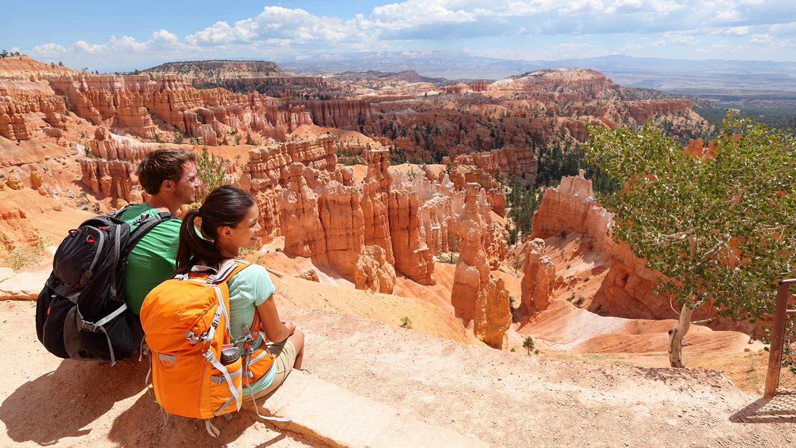
Hiking is one of the best ways to see all that Rocky Mountain National Park has to offer. However, the park has hundreds of miles of hiking and backpacking trails for you to choose from, so planning your upcoming adventures can be tricky.
To get you started, here’s everything you need to know about the best hiking trails in Rocky Mountain National Park.
Chasm Falls Trail
- Length : 2.8 miles
- Difficulty : Easy
- Estimated Time : 1 to 2 hours
- Best Time : July
One of the largest and most dramatic waterfalls in the park, the 25’ Chasm Falls is a great family-friendly option for a quick early summer hiking adventure.
The trail to Chasm Falls is relatively short and modest, gaining just a few hundred feet along the way. To get to the trailhead, you’ll drive along the historic Old Fall River Road, which was the first road to cross through the park when it was built in the 1920s.
After reaching the trailhead, you’ll climb a few switchbacks before arriving at a comfortable viewing platform. There are often plenty of birds searching for food in the falls, particularly American dippers, which makes this a nice hike for budding ornithologists, too.
Emerald Lake and Bear Lake Trail
- Length : 3.6 miles
- Difficulty : Moderate
- Estimated Time : 2 to 3 hours
- Best Time : August
A fun, family-friendly hike for anyone looking to enjoy some glistening lakes, the trail to Emerald Lake and Bear Lake is a solid choice.
This very popular trail follows the Bear Lake Loop and offers you the chance to see these two stunning lakes as well as the smaller Nymph Lake along the way. If you look closely above Nymph Lake, you can even see Longs Peak and Hallet Peak in the distance.
Once you reach Emerald Lake, however, you can relax by the water. Or, you can put on your hiking sandals for a quick refreshing swim to cool off from the summer heat.
As you relax, you can look up at Flattop Mountain above you and listen to the cascade of meltwater entering the lake from the nearby Tyndall Glacier.
East Long Peaks Trail To Chasm Lake
- Length : 8.4 miles
- Difficulty : Hard
- Estimated Time : 5 to 6 hours
- Best Time : July
For views of the famous Longs Peak and a stunning lake to boot, the East Longs Peak Trail to Chasm Lake is a fantastic option.
This 8.4 mile round trip trail is strenuous, climbing over 2,500’ from the trailhead to the lake. However, the path provides a chance to walk through a dense lodgepole pine forest before breaking out into the alpine with full views of the Diamond on Longs Peak along the way.
After a small amount of scrambling over rocky terrain, the trail leads you to Chasm Lake, right at the base of Longs Peak’s most formidable face. Here, you can relax and enjoy your efforts with a small picnic as you gaze up at the tallest peak in the park.
Mount Ida Trail
- Length : 9.6 miles
- Difficulty : Hard
- Estimated Time : 6 to 7 hours
- Best Time : July
Often considered to be the best hike in Rocky Mountain National Park for those looking for scenic vistas, the trail to the summit of Mount Ida offers a chance to experience the beauty of the park first-hand.
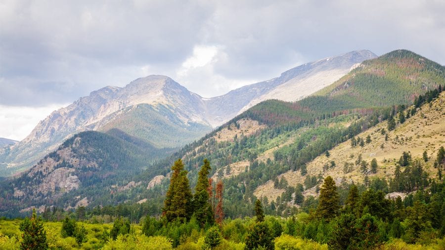
It starts out at the Poudre Lake Trailhead at Milner Pass and climbs steadily through a subalpine forest before breaking out into the alpine tundra. Here, bighorn sheep and elk sightings are common, as are views of the Continental Divide.
At the summit of Mount Ida, you can cast your eyes over the rest of the park, including Longs Peak. On clear days, the nearby Mummy Range is also in full view.
However, it’s important to start this hike early in the morning to avoid being on the summit during the afternoon storms. Be sure to bring plenty of water bottles and hiking snacks, too, so you can stay energized on your adventure.
Glacier Gorge Trail to Sky Pond
- Length : 9.8 miles
- Difficulty : Hard
- Estimated Time : 5 to 6 hours
- Best Time : July
Perhaps one of the most picturesque lakes in the entirety of Rocky Mountain National Park, the trail to Sky Pond is a favorite of intrepid adventurers.
The Glacier Gorge Trail is steep and strenuous, climbing over 1,700’ one-way to reach Sky Pond. However, the efforts are all worth it in the end when you reach the scenic Sky Pond and gaze out over its craggy surroundings. On this steep trail, trekking poles and a proper pair of hiking boots are essential.
If you’re up for more of an excursion, you can continue on for about 0.4 miles longer from the pond to reach Andrews Glacier, one of the last remaining glaciers in the state. Be mindful that late afternoon thunderstorms are common, so don’t forget your rain jacket.
Ute Trail to Timberline Pass
- Length : 4 miles
- Difficulty : Easy to Moderate
- Estimated Time : 2 to 3 hours
- Best Time : July to August
For panoramic views that don’t require a whole lot of mileage or elevation gain, the Ute Trail is must-do. It starts off at the Alpine Visitor Center and offers much more in the way of solitude than the extremely popular, and substantially shorter, Alpine Ridge Trail.
While the Ute Trail is technically a thru-hike, which you can take from the visitor center to Milner Pass, a shorter, yet still very scenic alternative to thru-hiking the trail is to do an out-and-back adventure to Timberline Pass.
The path to the pass is fairly casual, with gradually rolling terrain until you reach your destination. Here, you can enjoy some great views of Moraine Peak, Estes Park, and Longs Peak before heading back to the Alpine Visitor Center.
Chapin-Chiquita-Ypsilon Trail
- Length : 8.3 miles
- Difficulty : Hard
- Estimated Time : 6 to 8 hours
- Best Time : August
Also known as the CCY Route, the Chapin-Chiquita-Ypsilon Trail is a chance to stand on the summit of 3 amazing peaks in Rocky Mountain National Park.
On this strenuous hike, you follow the unmaintained trails that climb up the northwestern face of Mount Chapin to tag this trifecta of peaks. It starts off at the Chapin Creek Trailhead and immediately starts climbing to the top of these impressive summits.
It’s important to note, however, that this route involves quite a bit of scrambling over talus fields and is located well above treeline, so hikers are quite exposed to thunderstorms along the way. Rapidly changing conditions can also make route finding difficult on this trail, so be sure to pack a hiking compass and a GPS hiking watch to help you navigate in the alpine.
Hallett Peak Trail
- Length : 10.3 miles
- Difficulty : Hard
- Estimated Time : 6 to 8 hours
- Best Time : July to August
With outstanding views and plenty of wildlife spotting opportunities, the Hallett Peak Trail is a superb jaunt for folks that want a peak ascent in Rocky Mountain National Park that involves minimal scrambling.
Starting out from the Bear Lake Trailhead, the path to Hallett Peak begins gently but starts to steadily gain elevation until you pop out above tree line and get treated to views of the surrounding area.
Continuing onward, the trail takes you past a number of notable overlooks, including the Emerald Lake Overlook until you finally get your first view of Hallett Peak and Tyndall Glacier. From here, the rocky path is marked with cairns that lead you to the summit of Hallett Peak, offering you excellent vistas of the craggy southern Rocky Mountains.
Bierstadt Lake Loop
- Length : 3.2 miles
- Difficulty : Easy to Moderate
- Estimated Time : 1 to 2 hours
- Best Time : July
If you’re not quite interested in hiking at high elevations, the low-lying Bierstadt Lake Loop is a solid family-friendly morning adventure.
The loop starts at the Bierstadt Lake Trailhead, which is at just 8,840’ and climbs about 700’ up to the lake. Although the trail does involve a decent amount of uphill travel, its short length and stunning views of the Continental Divide make for a fun outing.
Once you arrive at the lake, you can simply sit down and relax, or you can follow the trail further along the shores in a pleasant lodgepole pine forest. For anyone looking to get extra mileage in for the day, you can even connect the Bierstadt Lake Loop with the trail to nearby Bear Lake.
Tundra Communities Trail
- Length : 1 miles
- Difficulty : Easy
- Estimated Time : 30 minutes
- Best Time : August
Short but sweet, the Tundra Communities Trail is a fantastic way to see the beauty of the Rocky Mountain alpine if you’re short on time. The trail starts off at the Rock Cut Trailhead near the highest part of Trail Ridge Road and it follows a well-trodden 1 mile round trip path through the alpine for you to enjoy.
Along the way, you can snap photos of unique rock formations, alpine wildflowers, and the various wildlife that calls this often-inhospitable environment home. So, don’t forget your hiking camera backpack!
Be warned, however that at over 12,000’ in elevation, the Tundra Communities Trail is one of the highest in the park. Therefore, altitude sickness is a concern, even on this short and relatively flat trail.

Gaby Pilson
Gaby is a professional mountain guide with a master’s degree in outdoor education. She works primarily in the polar regions as an expedition guide, though she can be found hiking, climbing, skiing, sailing, or paddling in some of the world’s most amazing places when not at work.