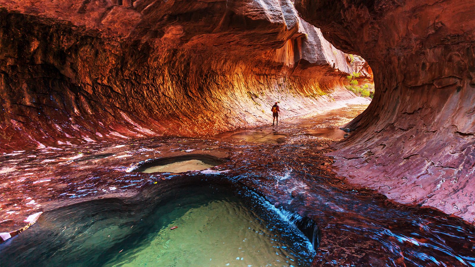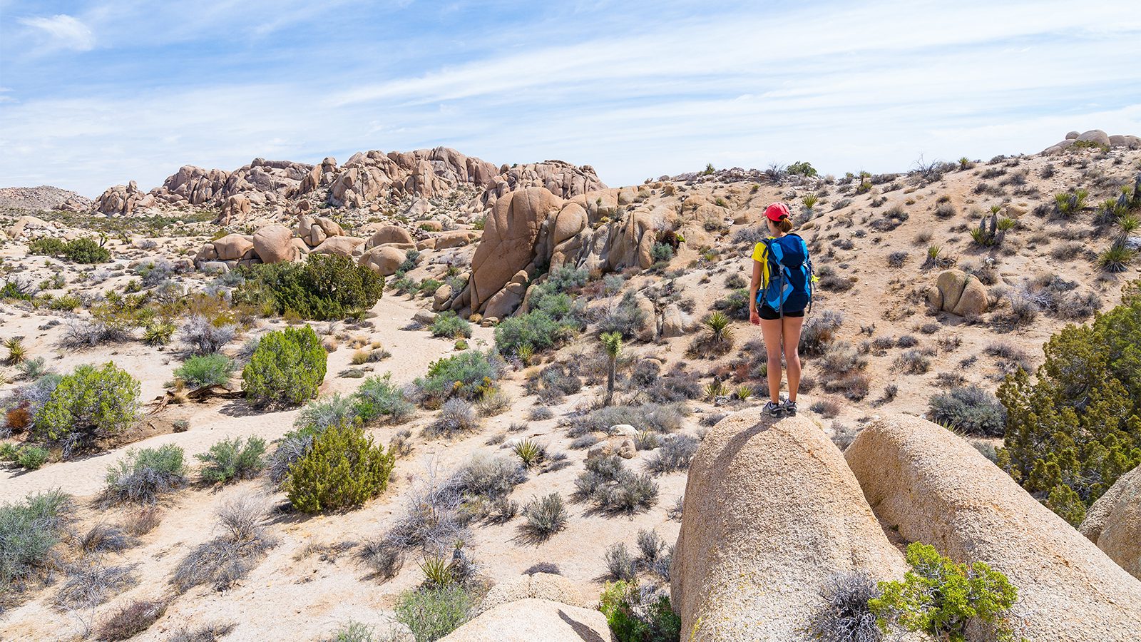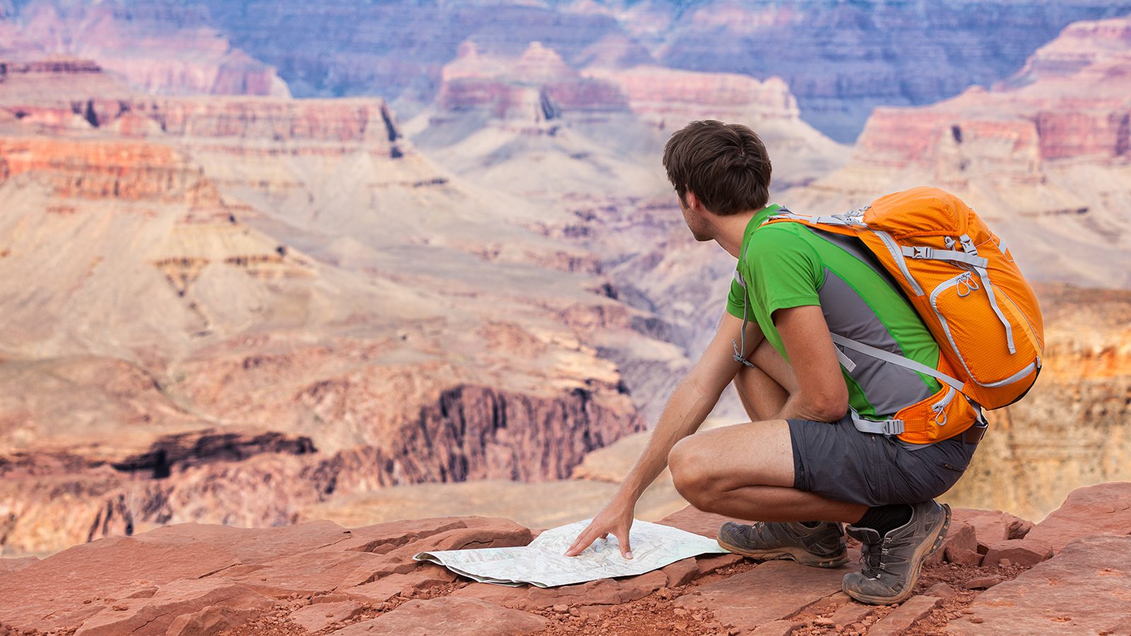
Sequoia and Kings Canyon National Parks are known for their groves of ancient giant sequoias and their craggy granite peaks. Hiking in the parks can be a fantastic way to see so much of what this spectacular part of the High Sierra has to offer.
With dozens of developed trails to choose from, it can be tricky to know precisely how to best spend your time when visiting these national parks.
To ensure you make the most of your trip, we’ve created this list of the top hikes in Sequoia and Kings Canyon National Parks for you to check out.
Here are 8 of the best hiking trails in Sequoia and Kings National Park.
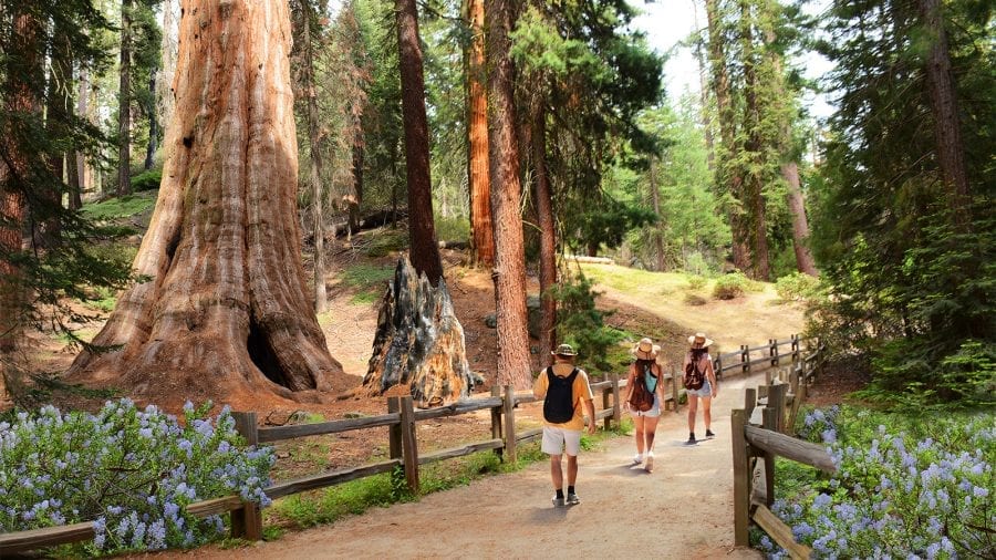
Big Trees Trail
- Length : 0.8 miles
- Difficulty : Easy
- Estimated Time : 1 hour
- Best Time : June to July
A fun and educational stroll in the woods, the aptly-named Big Trees Trail is located within the Giant Forest of Sequoia and Kings Canyon National Parks. This short, mostly flat, and paved trail takes hikers on a loop through a collection of some of the largest trees in the world.
Although the Big Trees Trail itself is quite short, it offers many options for side trips and fun activities for the whole family to enjoy. Some of the spur trails that lead off of the Big Trees Trail lead to Round Meadow, Sunset Rock, Beetle Rock, and the General Sherman Tree, the latter of which is the largest tree in the world by volume.
It’s also worth taking the time to visit the Giant Forest Museum at the start or end of your hike to learn more about the amazing trees that make this part of the Sierra Nevada so special.
Tokopah Falls Trail
- Length : 3.4 miles
- Difficulty : Easy
- Estimated Time : 2 hours
- Best Time : May to June
Starting off at the Marble Fork Bridge near the Lodgepole Campground, this friendly path offers a casual walk alongside the Marble Fork of the mighty Kaweah River. Along the way, it passes by massive granite cliffs and a lovely subalpine meadow.
During the hike, the Tokopah Falls Trail brings visitors past Tharp’s Log, a felled giant sequoia that was hollowed out by fire and used to create a cabin that still stands today. The cabin itself was inhabited by Hale Tharp, a miner and prospector that is believed to have been the first non-Indigenous person to have visited the Giant Forest.
The hallmark of this family-friendly trail, however, is Tokopah Falls. This waterfall cascades down for some 1,200 feet (365.8m), making it a great sight to see on a hot day in the early summer when snowmelt is at its peak.
Alta Peak Trail
- Length : 13.7 miles
- Difficulty : Very hard
- Estimated Time : 1 to 2 days
- Best Time : August
As one of the few places over 11,000’ that can be accessed from the Generals Highway, the Alta Peak Trail is a popular option for keen peakbaggers. This trail starts off at the Wolverton Parking Area and starts climbing immediately up and out of the dense pine forest.
Eventually, the trail leaves the forest behind, providing excellent views of the San Joaquin Valley below as it makes its way through the chaparral and back into the forest. Soon enough, the Alta Peak Trail brings you into the true alpine, past the famous Tharp’s Rocks, and to the summit of Alta Peak.
From the top, you can gaze across the rest of the Sierra and of some of the nearby alpine lakes. For some, the Alta Peak Trail can be done in a day, but if you want to spend the night in the mountains, don’t forget to apply for a wilderness permit before your trip.
Moro Rock Trail
- Length : 2 miles
- Difficulty : Moderate
- Estimated Time : 1 hour
- Best Time : June to July
Starting out at the Giant Forest Museum, the trail to the top of Moro Rock is a strenuous, yet short day hike to a scenic viewpoint that overlooks Sequoia and Kings Canyon National Parks.
This trail begins in the shade of the giant sequoias before breaking out to a rocky area. For the final push, the trail continues onward through a set of about 300 stairs that lead you to the top of Moro Rock.
As one of the most famous viewpoints in Sequoia and Kings Canyon, the trail to the summit of this iconic feature isn’t to be missed. Keep in mind that this is one of the most popular trails in the park, so it’s often busy in mid-summer.
Leave plenty of time to hike the Moro Rock Trail so you can enjoy the view from the summit. On the way down, you can choose to head back into the Giant Forest and enjoy some time amongst the largest trees in the world. Good link-up options, if you have the time, include the Big Trees Trail or the Tokopah Falls Trail.
Grant Tree Trail
- Length : 0.3 miles
- Difficulty : Easy
- Estimated Time : 30 minutes
- Best Time : June
This short stroll through the Grant Grove offers you a chance to see one of the largest trees in the world, the General Grant tree. Believed to be well over 1,000 years old (and likely closer to 2,000 years old), the General Grant is truly a wonder to behold.
The Grant Tree Trail provides a comfortable paved walk from the General Grant Tree Parking area near the Kings Canyon Visitor Center. On this quick hike, you can gaze up at the top of the General Grant tree, which measures over 260’ tall.
During your time on the Grant Tree Trail, you can also check out the Fallen Monarch, another massive sequoia that was hollowed out by fire before it fell to the ground and landed in its current location some 300 years ago.
Other notable attractions on the trail include the Gamlin Cabin, which was built during the late 1800s by the Gamlin brothers who had squatted in the grove in an attempt to start logging in the area.
Rae Lakes Loop
- Length : 41.4 miles
- Difficulty : Very hard
- Estimated Time : 4 to 6 days
- Best Time : August
Perhaps the most popular wilderness hike in the southern Sierra, let alone Sequoia and Kings Canyon National Parks, the Rae Lakes Loop is a must-do for any experienced backpacker that’s looking to see the true grandeur of the Sierra Nevada.
This trail provides views of some of the most beautiful parts of the Sierra Nevada, including glistening alpine lakes and craggy peaks. That being said, large snowpacks and high water at many river crossings can make the trail difficult to travel across until late July or August.
Permits are an absolute must for the Rae Lakes Loop and can be hard to come by because of the parks’ strict permitting system. If you do manage to snag permits for this trail, consider yourself lucky, and enjoy every minute of this world-class backpacking adventure.
Monarch Lakes
- Length : 8.4 miles
- Difficulty : Moderate to hard
- Estimated Time : 5 to 6 hours
- Best Time : July
Located in the remote Mineral King section of Sequoia and Kings Canyon National Parks, the trail to Monarch Lakes is a great option if you’re looking for a bit of solitude in the trail.
Since this section of the park isn’t accessible by road from the Generals Highway, the Monarch Lakes Trail is best for folks staying at the Atwell Mill Campground or the Cold Springs Campground, which are just down the road.
From the Sawtooth Trail parking area near the Mineral King Ranger Station, this trail starts off by traversing beautiful meadows and calming red fir forests before entering the expansive Chihuahua Bowl. Then, the trail turns a corner and provides you with an excellent view of the southern Sierra as you climb to the top of Sawtooth Pass.
Keep in mind that the trails in the Mineral King area are less frequently traveled. They are often much more rugged than those elsewhere in the parks, so caution and appropriate gear, like a first aid kit, map, compass, and wilderness travel skills are necessary whenever venturing into the southern Sierra.
Mist Falls Trail
- Length : 8 miles
- Difficulty : Moderate
- Estimated Time : 4 to 5 hours
- Best Time : June to July
One of the most popular day hikes in Kings Canyon National Park, the trail to Mist Falls offers a moderately strenuous half-day of adventure in the Cedar Grove area. This trail starts off near the Road’s End Permit Station and begins on a relatively flat path through the low-lying forest and chaparral.
Throughout the hike, this trail takes you past a collection of rapids and small waterfalls in South Fork Canyon before gaining approximately 600’ of elevation during the last mile of the outbound hike.
After this short climb, the Mist Falls Trail brings you to the base of one of the largest waterfalls within the boundaries of Sequoia and Kings Canyon National Parks. Unlike many other large waterfalls, Mist Falls is a rushing river that cascades down a very steep, smooth granite slope, providing a unique site for hikers to enjoy.
If you want a bit more adventure, you can continue on past the falls on a relatively quiet trail that continues on for a few more miles to the scenic Paradise Valley.

Gaby Pilson
Gaby is a professional mountain guide with a master’s degree in outdoor education. She works primarily in the polar regions as an expedition guide, though she can be found hiking, climbing, skiing, sailing, or paddling in some of the world’s most amazing places when not at work.